


Here are some images I've found that somewhat reflect the vague ideas of what an effective map design might look like at the moment.
Now I don't believe that the map will be viewable by the cyclist unless they come to a stop in their route. Safety first of course. But while the application is mapping their route and is in motion, the screen will likely stay dark to save battery or perhaps show the application logo as a tiny form of mobile advertising. But all the same, I'd like the map aesthetic to be simple and readable at a glance. Commuters in particular have places to be, and the user shouldn't have to spend a long time attempting to orient themselves. Color itself should also be limited. Most of the maps use a color coding system to show a huge area, but I think my color system might be more limited in cases where the user is plotting their route down select roads. So the map might be a single neutral color and the route might be mapped in something more vivid.


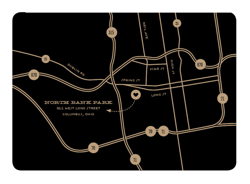


I also really like the idea of pins, and that they in a way represent a tap, a touch, a plotting of location in an instant. So maybe pins will find their way into the map design as well.
And of course I can't look at maps without stopping by good ol' Nicholas Felton's website.


I've also continued my research into bike lanes and the many options when installing one. This website in particular was a great help in understanding the many types of bike lanes, as well as the standard dimensions one requires. I've yet to find however a source that takes you through the process in considering when and where a bike lane is chosen to be put in. Considering this I might have to call in to the department of Transportation personally. I'll try establishing contact within the week since they have no email adresses listed.
I have looked at a few other community websites however to help me further understand local bike community events and stores I was earlier unaware of. Particularly smaller local shops that provide not only cheap bikes and parts to the community, but classes on proper care, riding, and repair. KCBike.Info was a great source that I'll be keeping a close eye on. I would love to interview some people to get some insider opinions on our city's bike lanes and road system.
One post however drew my attention right away on this community website. It seem's that on August 17th of 2011 there was a meeting at the Crown Center downtown discussing UMB and the city's cooporation in bringing more bike lanes downtown, particularly to Grand St..
The article reads:
"UMB Bank and the City are kicking off a big project to make Grand a truly grand street with new sidewalks, streetscape, natural stormwater retention, crosswalks, bike lanes, and maybe even bike sharing. There is even talk of fancy separated bike lanes like ones popping up in Chicago, DC, and New York."

There are also many great sites such as Bikely.com that have a full list of mapped out commuting routes posted by local bike riders. It's good to see that even without an application with simple and easy route plotting functionality that cyclists are still uploading and sharing safe route information to one another.
No comments:
Post a Comment